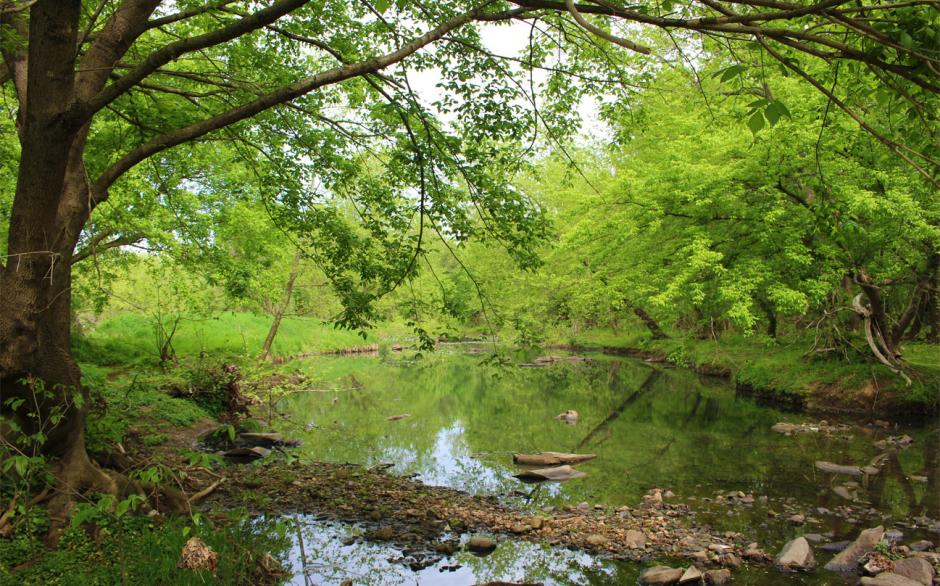

The District’s Aquatic Resources Registry is a publicly available, interactive map of wetlands and submerged aquatic vegetation (SAV) beds in the District.
The District’s 2020 Wetland Conservation Plan update included an effort to identify the District’s wetlands, of which approximately 92% are mapped and viewable in the Aquatic Resources Registry. Baseline data for each mapped wetland can be accessed by clicking on an individual resource
The Registry also includes submerged aquatic vegetation (SAV) survey results for the last five years to help avoid impacts and identify potential restoration areas. For regulatory purposes, SAV Beds are defined as including all those areas of SAV identified and annually mapped during at least 1 of the previous 5 years. Such beds shall be considered a “stand of SAV”.
This planning tool is intended to improve aquatic resource conservation and protection by allowing applicants to scan project areas for potential wetlands, streams, and SAV beds to be avoided.
The Registry data represent approximate locations, do not include every wetland, stream, or SAV bed, and do not replace the need for site-specific wetland and stream delineations or jurisdictional determinations by the US Army Corps of Engineers.
A wetland and stream presence absence survey by a qualified wetland scientist or consultant is also a useful way to locate streams and wetlands during the planning stages of a project. Applicants may also request DOEE to perform a wetland and stream presence/absence survey. To request more information on presence/absence surveys contact [email protected].
For more information about wetlands in District, view the Wetlands in the District main page.